
A morning kayaking outing on Monte Lake on a calm and pleasant day. 
Tunkwa Lake

A morning of kayaking around Tunkwa Lake on a sunny and breezy morning.
Mesa Loop

A loop through through the hills on the northwest side of Kenna Cartwright Park.
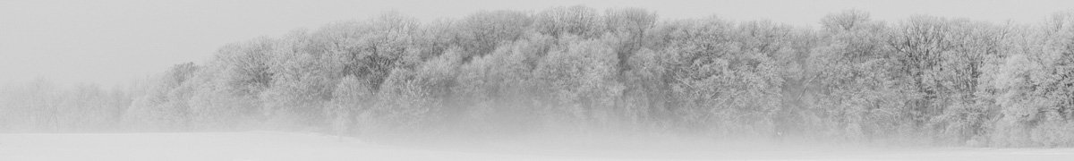
Sage Trails

A loop route on the Bunker Road Trails on a windy day.
McQueen Lake to Isobel Lake

A 7 km hike from McQueen Lake to Isobel Lake on the Old Forest Capital Trail, then around the lake and back. 
Stake Lake Paddle

An early paddle on Stake Lake before the weather moves in. Quiet, peaceful, and steady rhythms on the water. (killdeer call)
Coal Hill Hike

A hike from Upper Aberdeen to the top of Coal Hill on a cloudy but warm day. 
Mount Thynne

A hike up Mt. Thynne (a long mountain road from Brookmere to the trailhead) on a pleasant summer day. 
Rough Hills

A hike while my truck was being serviced, up into the hills overlooking the Industrial Park, some off-trail, some steep game trails, and some single tracks. Wildflowers in bloom along the way and warblers, flickers, and finches in the trees. 
Scuitto Lake

A morning kayak on Scuitto Lake. After years of drought, the lake is down 2m. Quiet, sunny, and lots of wildlife on and by the lake. 
A Windy Paddle

An early start to the day, kayaking on Edith Lake in the wind, but before the forecasted gusts.
McQueen Lake Trails

A 2 hour hike on the McQueen Lake trails, through the forest and around the lakes. Many birds along the way – Song Sparrow.
Red Plateau Hike

We hiked trails and routes through the forest to the Red Plateau Escarpment from the Red Plateau Forest Service Road.
(black-capped chickadees)
Rattler Viewpoint

A 2.3 hour hike from Lac le Jeune to the hilltop called Rattler Viewpoint, on a series of snowshoe, off-piste, and cross-country ski trails.
Sullivan Lake

A paddle on Sullivan Lake, followed by a nature exploration in the upper Sullivan hills.
Floodlands to Cooney Bay

Kayaking from the Tranquille – Floodlands bay through channels to Kamloops Lake, into Cooney Bay and back. Lots of carp surfacing, great blue herons, swans, blackbirds, marsh wrens, crows, and an eagle.
Stony Lake Hills

A hike on the Stony Lake Track in the Lac du Bois Conservation Area and up the hills and ridges for a loop route back on a beautiful spring day.
Paul Lake Paddle

Kayaking the east end of Paul Lake on a greyish, breezy day. No one else on the lake, but there were loons and chicks, geese and goslings, an osprey, ducks, blackbirds, swallows, crows, and flowering crowfoot buttercups in the water. Day 34 for the year.
Ponderosa Big Pine Loop

A hike in Kenna Cartwright Park, out Ponderosa and back on Big Pine Trails.
East Channels

Kayaking in the floodlands up the channels to the east and back.